Tilicho Peak
Come back to where you started and go over the top
- Country
- NepalAnnapurna range, above Tilicho Lake, Nepal
- Duration
- 28–32 daysSeason Five
- Grade
- Serious 4DGet High scale
- Max altitude
- 7,134 m23,406 ft
- Daily activity
- Approx 7–10 hours, 16 on summit day
- Season
- Oct–Nov, Apr–May
- Skill required
- Mixed ground, route-finding
- Months on the plan
- Two monthsof 24 planned
Same mountains. Same weather. Entirely different person, and this is the first time you will have proof that could stand up in court.
What you are walking into
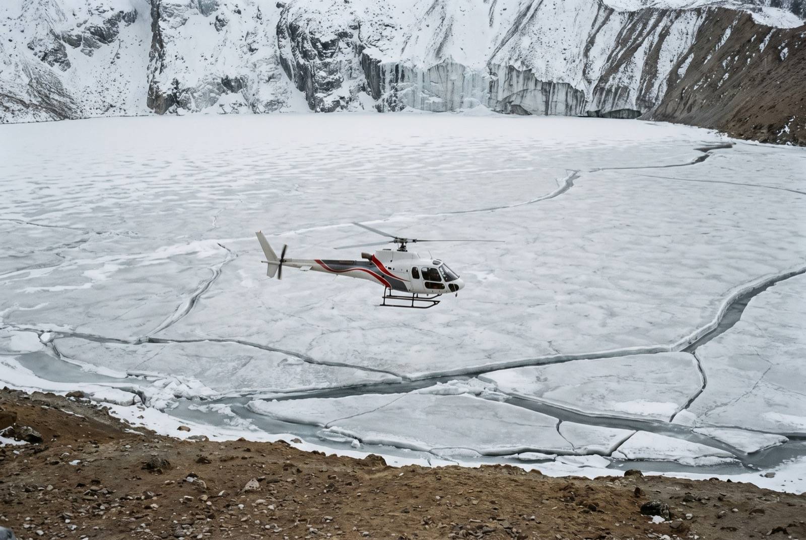
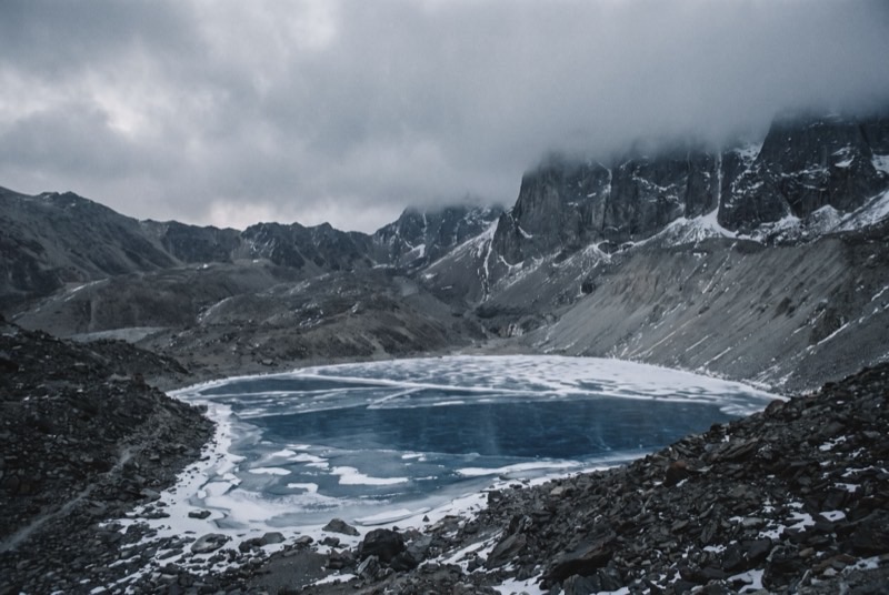
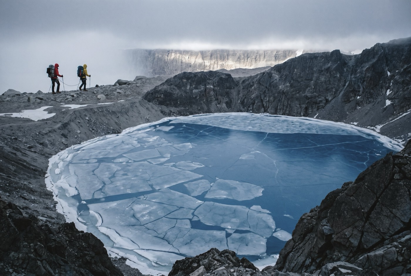
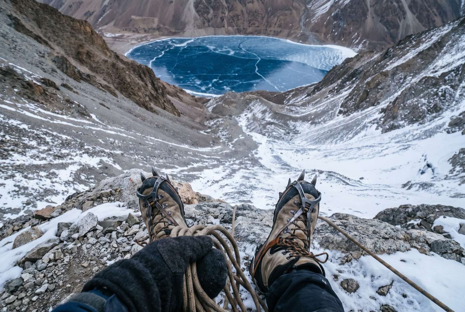
Tilicho Peak rises directly above Tilicho Lake, which sits at 4,919 m and is frozen for much of the year — a sheet of cobalt in a bowl of rock with nothing living anywhere near it.
The climbing is steeper and more complicated than either 7,000er below it, with mixed ground and genuine route-finding. This is the step where speed becomes a safety system instead of an ego one: the less time you spend in the dangerous places, the fewer opportunities they get.
What it takes out of you
Twelve days of silence, at the very start, was training for this and you did not know it at the time. Long, cold, technical hours alone inside a hood where the only thing that can go wrong is your own attention wandering.
You used to need something external to make an hour pass. Count how many hours you have just spent up here with nothing at all, on purpose, and enjoying it.
The logistics
- Duration
- 28–32 days
- Skill required
- Mixed ground, route-finding
- Season
- Oct–Nov, Apr–May
The climb profile
Left, elevation only: no horizontal axis, so its width means nothing. Right, air: bar length is the one thing here that does.
- Base camp
- Base Camp, 4,920 msource
- Summit
- Summit, 7,134 msource
- Vertical, base camp to summit
- 2,214 mthe difference of the two elevations above, nothing more
- Horizontal distance
- Not yet sourcedNo operator route description, alpine club record or mountaineering reference we could find states it for this route. It is not estimated here.
- Cumulative ascent
- Not yet sourcedThe up-and-down of the whole route, which is more than the vertical above. Nobody publishes it for any of the twelve.
Camps, by elevation: Camp 1 5,800 m source. Where each one sits along the route is not sourced, so each is drawn as a rule across the chart rather than placed on it.
The summit is the one undisputed figure here. Base camp is not: the cited page says 4,920 m in its itinerary and 4,800 m in its prose, and another operator says 4,910 m. A 4,150 m “Tilicho Base Camp” also circulates — that is the lodge of that name on the Annapurna Circuit, a different place, and it is deliberately not used here. Camp 2 is quoted at both 6,200 m and 6,300 m, so it is not listed.
The highest camp is Camp 1, 5,800 m, where the air is 50% of what it is at sea level. The tent was carried up there. The air was not.
The part we will not lie about
Tilicho is technically harder than its altitude suggests and sees very little traffic — fewer fixed lines, less information, and no queue of other teams to break trail or to find you.
Who you do it with
Five more metres. The tenth mountain in a row, and the year has been long. A guide is hired for a climb. The point of a dai is the ten months between them.
What the word means, and where it came from$2,400,000 at the plan's pace — $100,000 a month, charged monthly, for as long as it takes. All twelve steps. One client at a time.
Request a call