Baruntse
Do it again when nobody is impressed
- Country
- NepalBetween the Hunku and Barun valleys, Nepal
- Duration
- 30–35 daysSeason Five
- Grade
- Serious 4CGet High scale
- Max altitude
- 7,129 m23,389 ft
- Daily activity
- Approx 7–10 hours, 15 on summit day
- Season
- Oct–Nov, Apr–May
- Skill required
- 7,000 m experience, corniced ground
- Months on the plan
- Two monthsof 24 planned
You have never in your life done a difficult thing that nobody was watching. That is the actual test, and it is this one.
What you are walking into
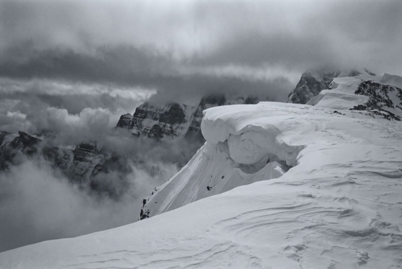
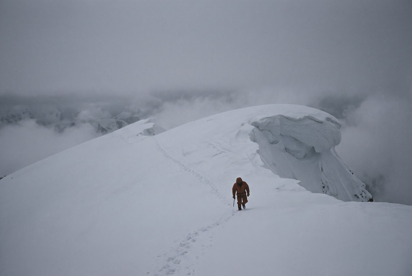
A clean, classic 7,000er approached through the Hunku — the same empty country as Mera, with Makalu and Chamlang for company and almost nobody else on the hill. The standard line runs the southeast ridge over corniced ground with several camps.
It is the consolidation peak. Everything you learned on Himlung gets repeated in worse weather with less attention paid to you, which happens to be the only way any of it ever becomes permanent.
What it takes out of you
Nobody claps for year three. The dramatic part of getting clean is over by about month nine, and what is left is maintenance, and maintenance is where almost everybody actually relapses.
Baruntse is an ordinary Tuesday with a mountain attached. The repetition on this list is not filler to make the number reach twelve — the repetition is the mechanism, and this is the step that proves it works on you.
The logistics
- Duration
- 30–35 days
- Skill required
- 7,000 m experience, corniced ground
- Season
- Oct–Nov, Apr–May
The climb profile
Left, elevation only: no horizontal axis, so its width means nothing. Right, air: bar length is the one thing here that does.
- Base camp
- Base Camp, 5,640 msource
- Summit
- Summit, 7,129 msource
- Vertical, base camp to summit
- 1,489 mthe difference of the two elevations above, nothing more
- Horizontal distance
- Not yet sourcedNo operator route description, alpine club record or mountaineering reference we could find states it for this route. It is not estimated here.
- Cumulative ascent
- Not yet sourcedThe up-and-down of the whole route, which is more than the vertical above. Nobody publishes it for any of the twelve.
Camps, by elevation: Camp 1 6,100 m source · Camp 2 6,400 m source. Where each one sits along the route is not sourced, so each is drawn as a rule across the chart rather than placed on it.
Baruntse's elevation is genuinely unsettled: 7,129 m is the operator and permit consensus, PeakVisor gives 7,152 m and Wikipedia gives 7,162 m. Base camp is quoted at 5,640 m and at about 5,400 m — a 240 m spread. Of the twelve, this record is the one to distrust first.
The highest camp is Camp 2, 6,400 m, where the air is 46% of what it is at sea level. The tent was carried up there. The air was not.
The part we will not lie about
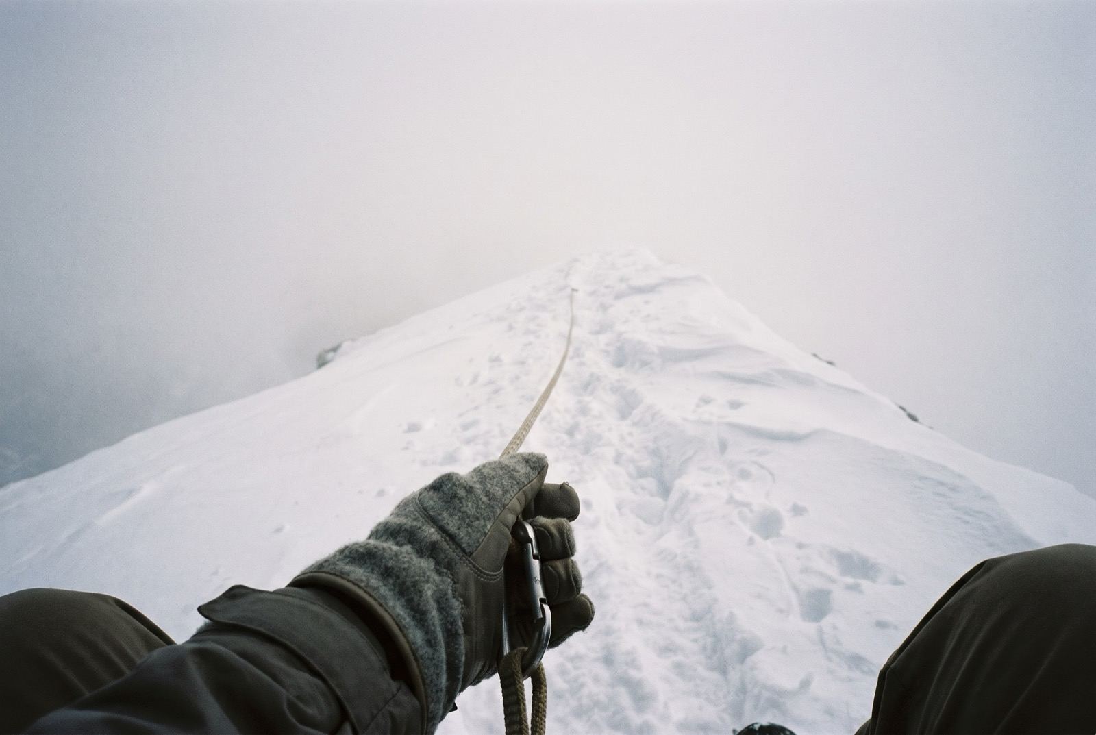
Baruntse has a reputation for wind and for corniced ridges that have caught experienced parties out. An unglamorous peak is not a safe one, and the absence of an audience lowers nothing at all.
Who you do it with
Three metres higher than the last one, and it will feel like nothing at all. You will want a reason that this one counts. He is not going to invent one for you.
What the word means, and where it came from$2,400,000 at the plan's pace — $100,000 a month, charged monthly, for as long as it takes. All twelve steps. One client at a time.
Request a call