Island Peak
Be terrified and go anyway
- Country
- NepalImja Valley, Khumbu, Nepal
- Duration
- 16–19 daysSeason Three
- Grade
- Technical 3BGet High scale
- Max altitude
- 6,189 m20,305 ft
- Daily activity
- Approx 6–9 hours, 15 on summit day
- Season
- Oct–Nov, Apr–May
- Skill required
- Ice technique, jumar, abseil
- Months on the plan
- Two monthsof 24 planned
You spent a decade chasing a feeling and paying a fortune for a much worse version of the one that is about to arrive, free, at twenty thousand feet.
What you are walking into
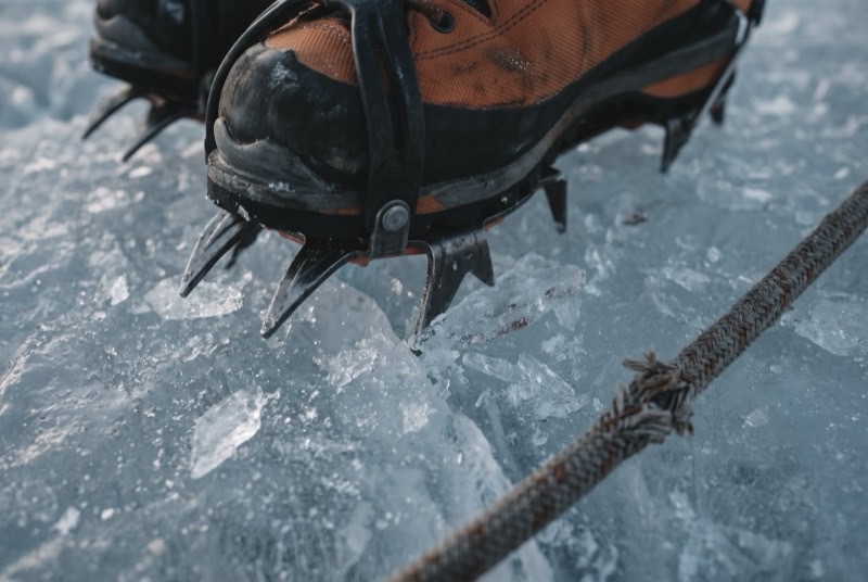
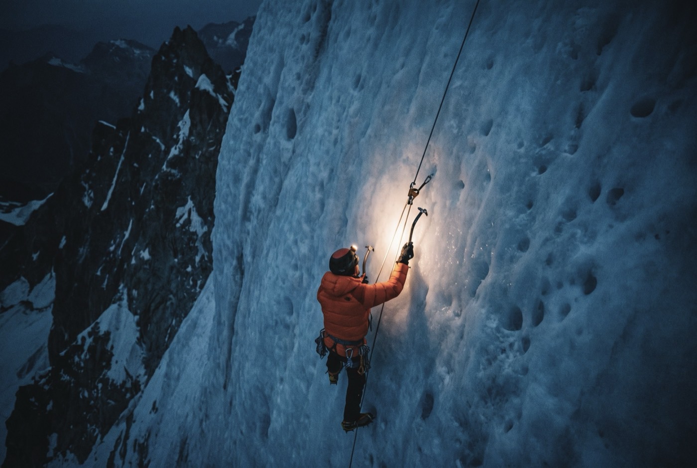
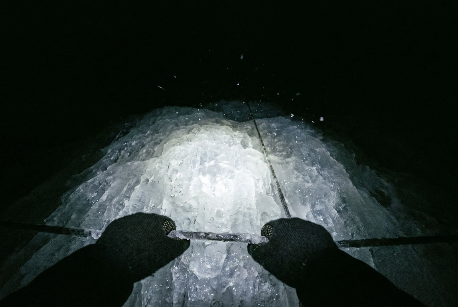
The walk in is gentle and then abruptly it is not. Above high camp the headwall is 100 to 150 metres of steep snow and ice on fixed lines, sometimes with an aluminium ladder laid across the bergschrund at the bottom of it, finishing on a ridge narrow enough to see down both sides at once.
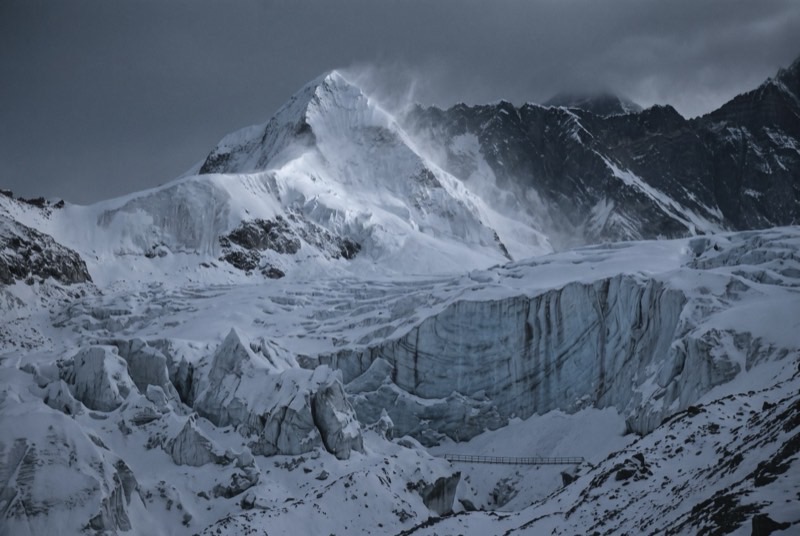
Sunrise on that ridge puts three thousand metres of the south face of Lhotse directly in front of you, close enough that it stops reading as scenery and starts reading as weather.
What it takes out of you
Here is the part nobody will say to your face: you are not frightened of the ice. You are frightened of finding out, in front of witnesses, that you cannot do it. You have organised an entire life around never being in that position.
So slow the breath down. Shorten the stride. Three points of contact. Clip the line. That is what asking for help looks like when it is not a statement through a representative — and it works, and afterwards you will have done a thing that cannot be bought, gifted, delegated or spun.
The logistics
- Duration
- 16–19 days
- Skill required
- Ice technique, jumar, abseil
- Season
- Oct–Nov, Apr–May
The climb profile
Left, elevation only: no horizontal axis, so its width means nothing. Right, air: bar length is the one thing here that does.
- Base camp
- Pareshaya Gyab base camp, 5,087 msource
- Summit
- Summit, 6,189 msource
- Vertical, base camp to summit
- 1,102 mthe difference of the two elevations above, nothing more
- Horizontal distance
- Not yet sourcedNo operator route description, alpine club record or mountaineering reference we could find states it for this route. It is not estimated here.
- Cumulative ascent
- Not yet sourcedThe up-and-down of the whole route, which is more than the vertical above. Nobody publishes it for any of the twelve.
Camps, by elevation: High Camp 5,600 m source. Where each one sits along the route is not sourced, so each is drawn as a rule across the chart rather than placed on it.
6,189 m is the operator and permit figure; Wikipedia uses 6,165 m throughout. Both are in wide use. Two sourced legs exist — 2 km base camp to high camp and 3 km high camp to summit — but adding them would be our arithmetic, so no distance is shown.
The highest camp is High Camp, 5,600 m, where the air is 51% of what it is at sea level. The tent was carried up there. The air was not.
The part we will not lie about
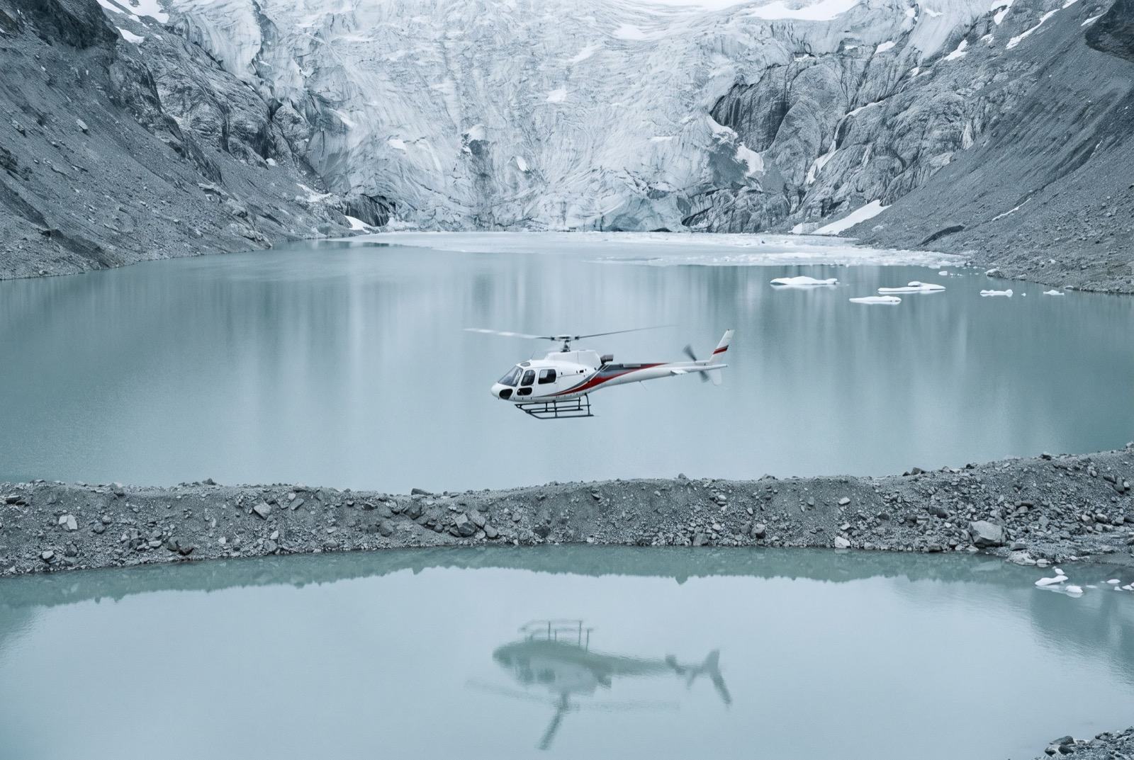
Island Peak has a reputation as an easy 6,000er and that reputation puts people in helicopters. The headwall is real ice climbing at altitude, at the end of a long night, when you are already finished.
Who you do it with
Four in the morning on a headwall in the dark, and every excuse you have ever used arrives at once, in your own voice. You can pay a guide to keep walking. Nobody has ever bought the part where you decide.
What the word means, and where it came from$2,400,000 at the plan's pace — $100,000 a month, charged monthly, for as long as it takes. All twelve steps. One client at a time.
Request a call