Cho Oyu
Spend the one thing you cannot replace
- Country
- Nepal / TibetNepal–Tibet border, Mahalangur Himal
- Duration
- 40–45 daysSeason Six
- Grade
- Extreme 5AGet High scale
- Max altitude
- 8,188 m26,864 ft
- Daily activity
- Approx 6–10 hours, 14 on summit day
- Season
- Sep–Oct, Apr–May
- Skill required
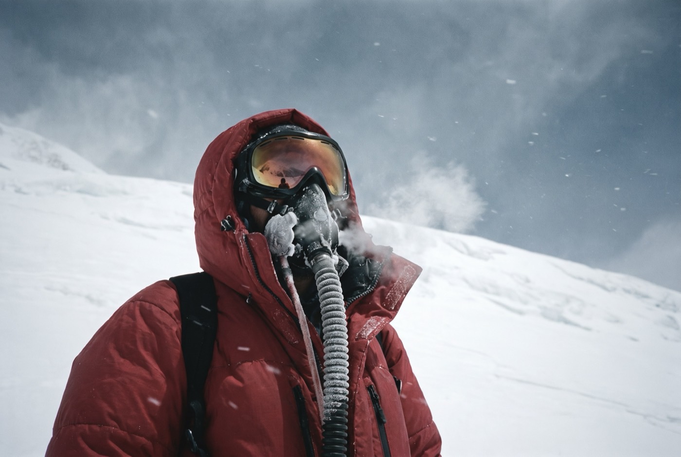
- 7,000 m experience, oxygen systems
- Months on the plan
- Three monthsof 24 planned
Above eight thousand metres you do not acclimatise. You spend. And for once you are spending something that cannot be topped up by anyone.
What you are walking into
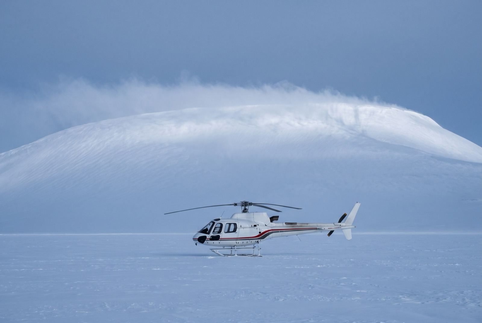
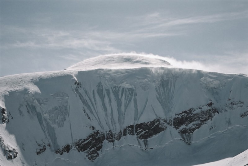
Cho Oyu is broad, high and comparatively forgiving — a long snow ramp with one genuine obstacle, the rock band around 7,000 m — which is exactly why it is the standard rehearsal for Everest. The altitude is entirely real; the technical difficulty is manageable.
It is also where you learn how your particular body handles bottled oxygen, whether you can sleep at 7,400 m, and what your judgement is actually worth on a third of the air you were built for.
What it takes out of you
There is no step in any programme about being cured, because there is no such step. There is only the practice, continued, at rising cost — and you have finally reached the altitude where that stops being a slogan.
Everything you take up there comes out of a reserve that does not refill while you are on the mountain. You have spent a decade drawing down a different reserve for nothing at all. This time you get something back, and you get to choose when to stop.
The logistics
- Duration
- 40–45 days
- Skill required
- 7,000 m experience, oxygen systems
- Season
- Sep–Oct, Apr–May
The climb profile
Left, elevation only: no horizontal axis, so its width means nothing. Right, air: bar length is the one thing here that does.
Tinted: above 8,000 m, the death zone.
- Base camp
- Advanced Base Camp, 5,650 msource
- Summit
- Summit, 8,188 msource
- Vertical, base camp to summit
- 2,538 mthe difference of the two elevations above, nothing more
- Horizontal distance
- Not yet sourcedNo operator route description, alpine club record or mountaineering reference we could find states it for this route. It is not estimated here.
- Cumulative ascent
- Not yet sourcedThe up-and-down of the whole route, which is more than the vertical above. Nobody publishes it for any of the twelve.
Camps, by elevation: Camp 1 6,400 m source. Where each one sits along the route is not sourced, so each is drawn as a rule across the chart rather than placed on it.
8,188 m comes from the 1996 Nepal Survey Department and Finnish Meteorological Institute measurement. The 8,201 m figure many operators still print is a superseded 1984 estimate, not a competing survey. The road-head camp below ABC is quoted at both 4,800 m and 4,900 m and is not plotted. Camps 2 and 3 are quoted at 7,000/7,100 m and 7,400/7,500 m, so they are not listed.
The highest camp is Camp 1, 6,400 m, where the air is 46% of what it is at sea level. The tent was carried up there. The air was not.
The part we will not lie about
The death zone is not a figure of speech and rescue above 8,000 m is largely theoretical. People die on Cho Oyu every few seasons, including strong, experienced, extremely well-supported ones. No budget alters this in any way.
Who you do it with
Above eight thousand for the first time. The body starts dying at this height and nothing anybody says alters that arithmetic. What is left is whether you trust the man who tells you to turn around.
What the word means, and where it came from$2,400,000 at the plan's pace — $100,000 a month, charged monthly, for as long as it takes. All twelve steps. One client at a time.
Request a call